Civilization, in its frantic quest for new resources to exploit
has so far found most of the desert peaks too inaccessible or too barren to yield a profit.
May this always be true.
– Randall Henderson |
Pico Risco – 4,987 feet
This colorful, rock peak in northern Baja carries the charm of obscurity. |
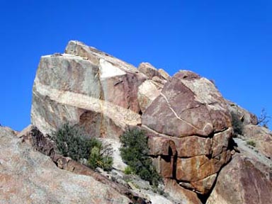 |
Pico Risco’s famous summit block |
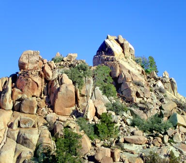 |
Rock formations typical of the area |
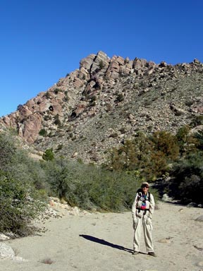 |
Pico Risco watches Jennifer |
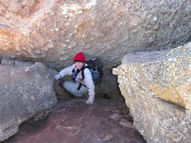 |
Jennifer emerging from the Keyhole on the summit ridge |
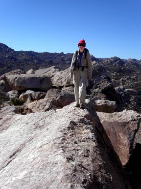 |
Jennifer on the overrated Knife Edge |
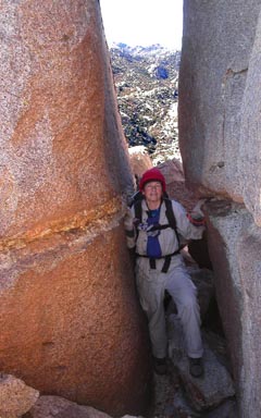 |
Jennifer approaching the summit block through the only possible passage |
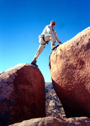 |
Gerry negotiating the famous Step Across to the summit block |
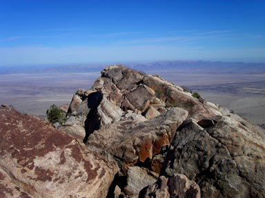 |
Looking across Pico Risco’s slightly lower north summit from the main summit |
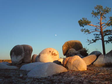 |
Boulders at Laguna Hanson |
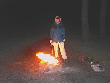 |
Our Mexican campfire at Laguna Hanson |
| Gerry took the above photos on 12/06/03. |
Map: Arroyo Del Sauz IIID84
Rancho San Luis – 5.5 miles RT, 600 feet net, 1,200 feet total, Class 3 |
| This is the easiest route on Pico Risco. Even getting to the starting point can be an adventure,
and the peak’s famous summit block is sure to please.
Start at the Rancho San Luis Trailhead
northeast of Laguna Hanson, and be sure to gift the Rancho couple with a basket of fresh food,
clothing or perhaps dog food. One of the ranch dogs may follow you to the peak, but don’t worry,
since they know the route better than you do. |
| Since Pico Risco is not visible from Rancho San Luis,
and the desert terrain between the two points is confusing because of its homogenous nature,
it’s helpful to have an intermediate landmark to navigate by on the approach to and return from the peak,
so identify the large rock peak a mile away from the Rancho at a bearing of 94 degrees.
This important landmark, visible from nearly all points along the route, will help guide you.
With this in mind, hike east from the Rancho toward the landmark peak,
following a ranch road that goes downhill to the north of a small wooden house.
From the end of the road, take the northern of two trails, and continue downhill to the north.
This trail soon turns east, crosses a wash 250 yards after leaving the Rancho and becomes more distinct.
Look for ducks as you progress to the east. |
| When you get under the base of the landmark peak, turn north (left), follow a fair trail 0.3 mile down a wash,
then gently up some open terrain to a small saddle where Pico Risco comes into view for the first time.
You can recognize it by its sheer, rocky summit block, which is graced by light colored banding,
and culminates a rocky summit ridge to the right. Hike north-northeast from the saddle,
continuing on a good trail down to a sand wash. Hike 0.5 mile northeast down this wash to a place
where the trail leaves the wash and heads east (right). This turn is marked with several ducks,
but is still easy to miss, so look sharp for it. Leave the wash, hike 0.25 mile east on the ducked trail,
turn north (left) into another wash and hike 0.3 mile north down that wash to the intersection
with yet another wash arriving from the west. This point is northwest of the peak, and right under it.
Your Class 1 approach is over. |
| The now large wash continues north under the west flank of the peak, then dives into the Canon Guadalupe.
There is another route that climbs up Canon Guadalupe from the low plains east of the peak,
and the two routes join at the aforementioned wash junction northwest of the peak. |
| From the wash junction northwest of the peak, leave the wash and climb steeply east
gaining 500 feet of elevation to reach the peak’s south ridge. Now the fun begins.
Turn north (left) and follow the initially easy ridge until large boulders block your rapid progress.
Move to the west (left) side of the boulders, and scamper under the boulders for 30 feet until
you are below a cave-like area. Turn east (right), climb up into the cave and bear left up through
a keyhole. From the platform at the top of the keyhole, scamper north, then east to regain the ridge crest
above the barrier boulders. We’re having fun now! |
| Views of the approaching summit block will draw you onwards. Dodging some cactus,
drop down on the east (right) side of the ridge, and scamper north under another
barrier boulder on the ridge crest.
When feasible, climb back to the ridge crest (Class 3). You are now close to the summit boulder,
and it will dominate your view to the north. Scamper north and cross a 20-foot section of rock ridge
that some have called a knife-edge. Beyond the knife-edge, squeeze east up through the only
possibe passage to reach a boulder jumble just east of the summit boulder.
Scamper west up a sloping boulder, and behold the famous step-across to the summit boulder.
Your fun quotient should be accelerating. |
| The step-across is exposed to the west, and has stirred several emotions.
The step-across carries a Class 3 rating, but the exact difficulty is a function of your height.
It is easier for tall people, and some short people have enjoyed the security of a rope here.
There are some solid nut placements just above the step-across to aid this process.
Once across, scamper 30 feet west up the amazing sloping summit boulder to the high point.
Viva Mexico! |


