If we had half as many people, it would take twice as long to screw it up.
– Rodney Korich |
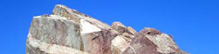
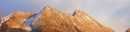
Anvil Mountain – 12,537 feet
This Anvil anchors the south end of a Twelver-laden ridge to the east of
US 550 south of Red Mountain Pass. This peak is in the San Juan heartland. |
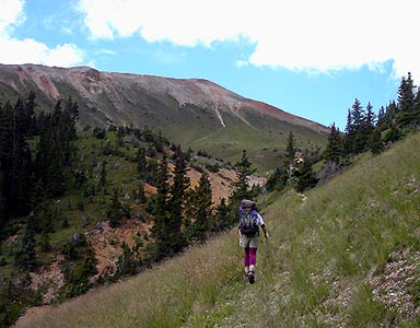 |
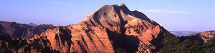
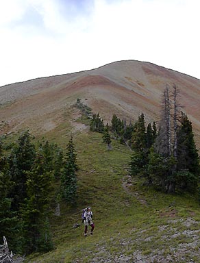
Jennifer on the trail to the Irwin Mine, with Anvil Mountain waiting above |
 |
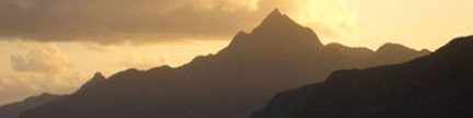
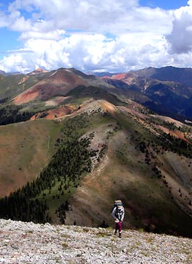
Anvil Mountain seen from the saddle to the north |
 |
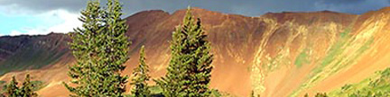
Looking north while Jennifer pulls above the chip-rock slope
“North Anvil” is the next peak to the north |
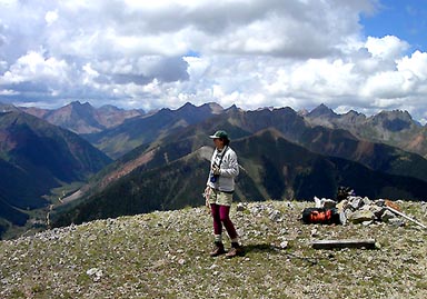 |
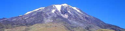
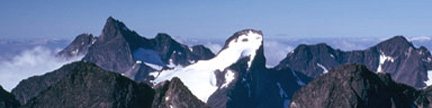
Jennifer on Anvil’s summit in the San Juan heartland
Looking west, the major peaks are,
left to right:
Rolling, V10, V9, Fuller, Vermilion, Golden Horn, Pilot Knob,
V5, V4, US Grant, V3, South Lookout |
| Gerry took the above photos on 8/25/03 |
USGS 7.5’ Quadrangle: Silverton |
East Slopes – 4.0 miles RT, 2,777 feet net & total, Class 2 |
| This is the easiest route on Anvil Mountain. Start at the
Niagara Gulch Trailhead,
and go 0.6 mile west up the steep road to the end of the road at 10,600 feet.
Continue 1.0 mile west on the excellent trail to the top of the Irene Mine
at 11,800 feet, then climb west up steep grass to the 11,980-foot saddle north
of Anvil Mountain. The route to here is Class 1. At the saddle, turn south
(left) and climb 0.2 mile up a steep chip-rock slope (Class 2) to the summit
where a 360-degree mountain mosaic waits for you. |
Anvil – “North Anvil” Combo –
4.5 miles RT, 3,018 feet net & total, Class 2 |
| To climb both peaks, start at the Niagara Gulch Trailhead,
and follow Anvil’s East Slopes Route to Anvil’s summit (Class 2).
Return to the saddle, and hike 0.3 mile north to the summit of “North Anvil.”
|